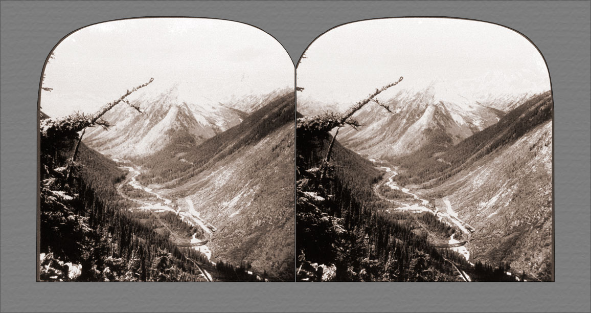
Illecillewaet Valley from Observation Point, near Glacier, British Columbia, Canada.
Often in these glacial streams the water looks very much like milk. This is due to what is called glacial flour. The stones frozen in the bottom of the glacier, by rubbing over the underlying rock grind it to the finest powder, and this is finally carried away by the water in the glacial stream. There is not much doubt but that some of the soil that goes to form the flats of this valley came from the foot of the glacier.
Due to their rock composition and the greater glaciation caused by heavier precipitation from the prevailing west winds, the Selkirks are far more Alpine in appearance than the Rocky Mountains that lie to the east. From Observation Point, where this view can be had, one can also get a splendid view of Rogers Pass and Mounts Cheops and Napoleon.
The railway we see skirting the channel of the river is here winding through Loop Valley. It is carried over the Selkirk summit through Rogers Pass and thence through the valley before us to the Columbia. From there it goes westward through the Gold Range and by the Thompson and Fraser valleys to Vancouver.